
Some hiking trails in the United States are genuinely dangerous. Not challenging in a way that rewards preparation, but dangerous in a way that has sent experienced hikers to hospitals, and in some cases, not home at all.
The nine trails here have built reputations backed by documented fatalities, emergency rescues, and park service warnings that go well beyond standard disclaimers. The risks vary: vertical exposure, extreme heat, isolation, wildlife, altitude, and weather that can turn lethal within an hour. With trail traffic continuing to rise in 2026, understanding what makes these routes hazardous matters more than ever.
1. Angels Landing, Zion National Park, Utah
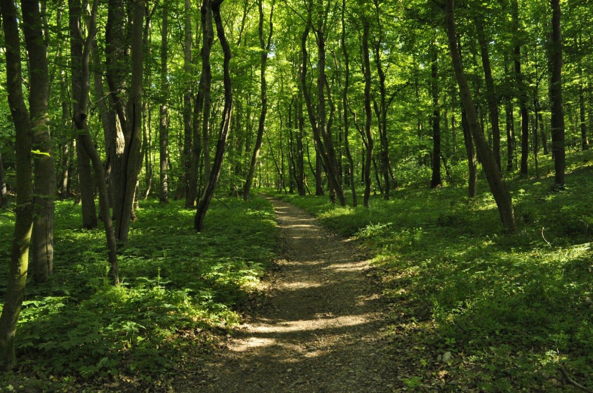
The final half-mile to the Angels Landing summit involves gripping steel chains on a sandstone ridge narrow enough that two people struggle to pass each other, with 1,500-foot drops on both sides.
At least 19 people have lost their lives here since records began. The National Park Service introduced a permit lottery in 2022 to reduce dangerous congestion, but wet conditions make the sandstone treacherous regardless of crowd size.
2. The Knife’s Edge, Mount Katahdin, Maine
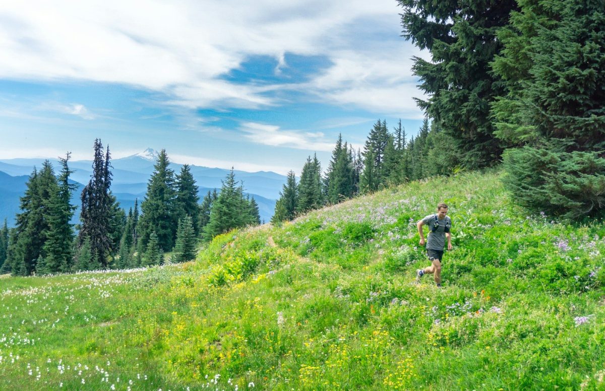
The Knife’s Edge is a half-mile ridge traverse with near-vertical drops on both sides and a trail that narrows to under two feet in places. Class 3 to 4 scrambling over jagged granite is required throughout.
Fog can settle over the ridge within minutes, eliminating visibility at the exact moment hikers need it most. A number of hikers with no prior fear of heights have found themselves unable to continue once fully committed to the traverse.
3. Half Dome Cables Route, Yosemite National Park, California
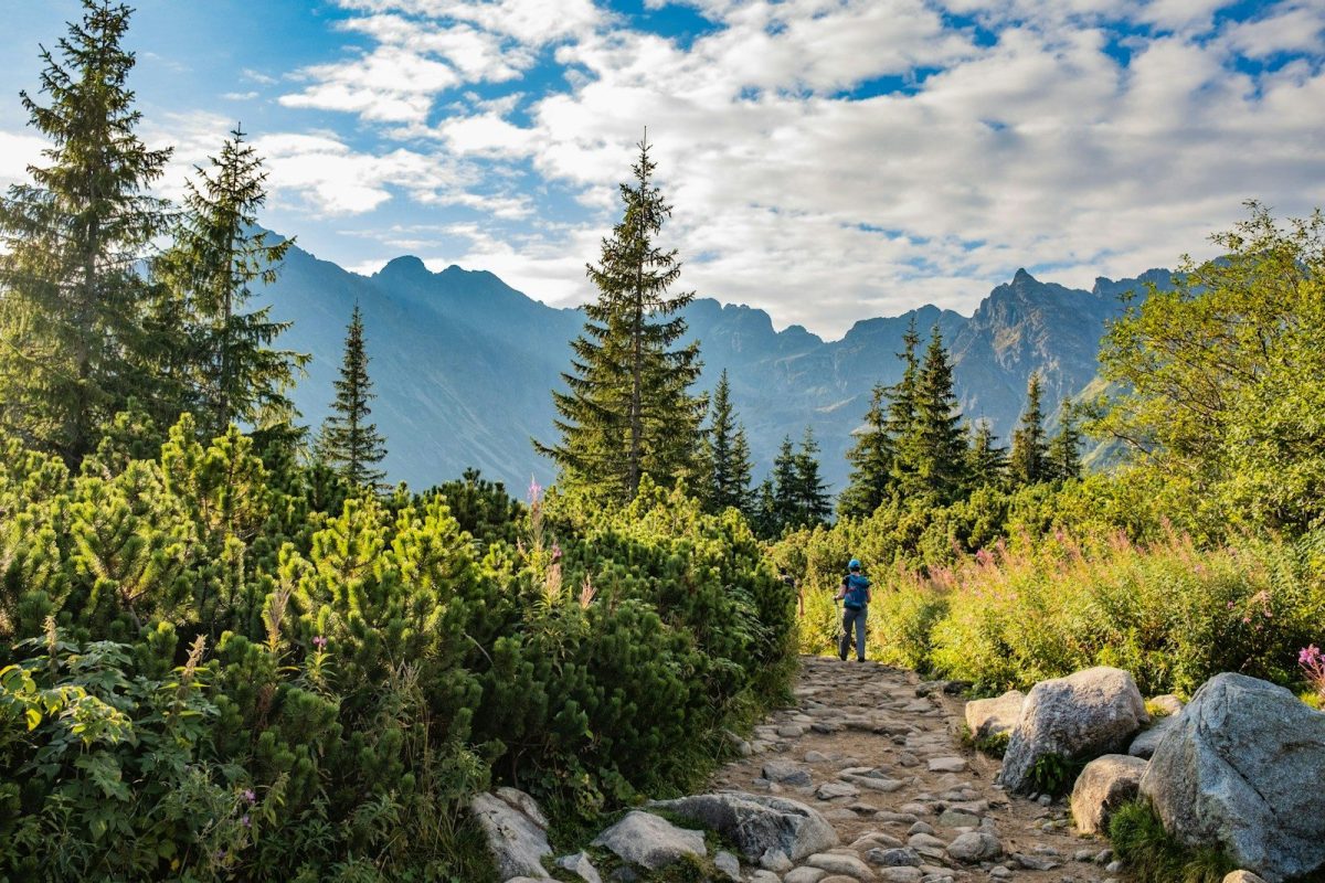
The final 400 feet of Half Dome follow steel cables fixed to a steep granite face. The approach covers up to 16 miles with nearly 5,000 feet of gain, meaning most hikers arrive at the cables already fatigued.
Lightning accounts for a notable share of the fatalities here. Rangers urge hikers to be off the cables before noon, and the cables are removed entirely each autumn.
4. Bright Angel Trail, Grand Canyon, Arizona
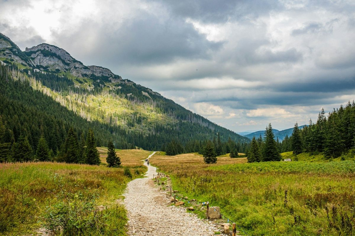
The Grand Canyon’s most common danger is heat, not cliffs. The descent is gradual and deceptively easy on a cool morning. Every foot of it must be climbed back out, often in afternoon temperatures exceeding 110 degrees Fahrenheit on the canyon floor.
Dozens of hikers are evacuated each year for heat exhaustion and hyponatremia. The Park Service posts signs at every trailhead stating plainly: “Do not hike to the river and back in one day.” The signs are routinely ignored.
5. Mount Washington, New Hampshire
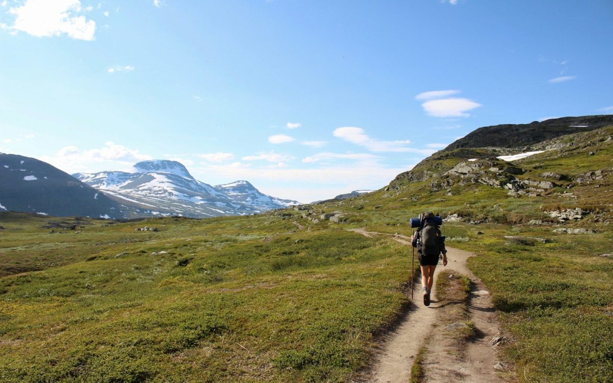
Mount Washington sits at the convergence of three major storm tracks. A wind gust of 231 miles per hour was recorded at the summit in 1934. Hurricane-force winds and freezing temperatures occur in every month of the year.
Approximately 161 people have lost their lives on the mountain since records began. The presence of a cog railway and an auto road to the top creates a misleading impression of accessibility that does not apply to hikers on foot.
6. The Maze, Canyonlands National Park, Utah
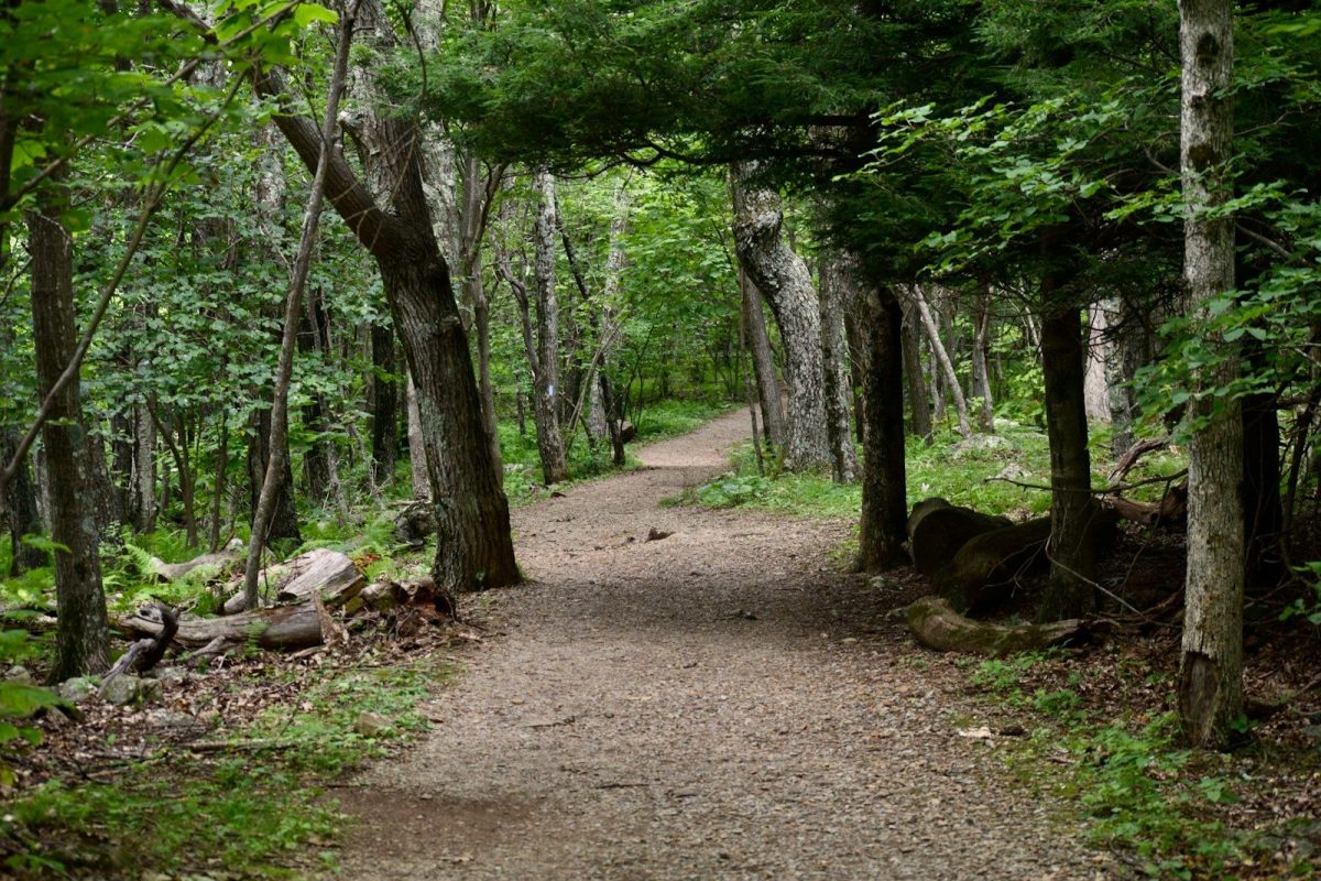
The Maze has no maintained trails, no cell service, and no reliable water sources. Hikers navigate by topographic map and cairns. Rescue operations take six to twelve hours to reach the area.
Access requires a high-clearance four-wheel-drive vehicle. A satellite communicator is not optional equipment here.
7. Mount Whitney, California
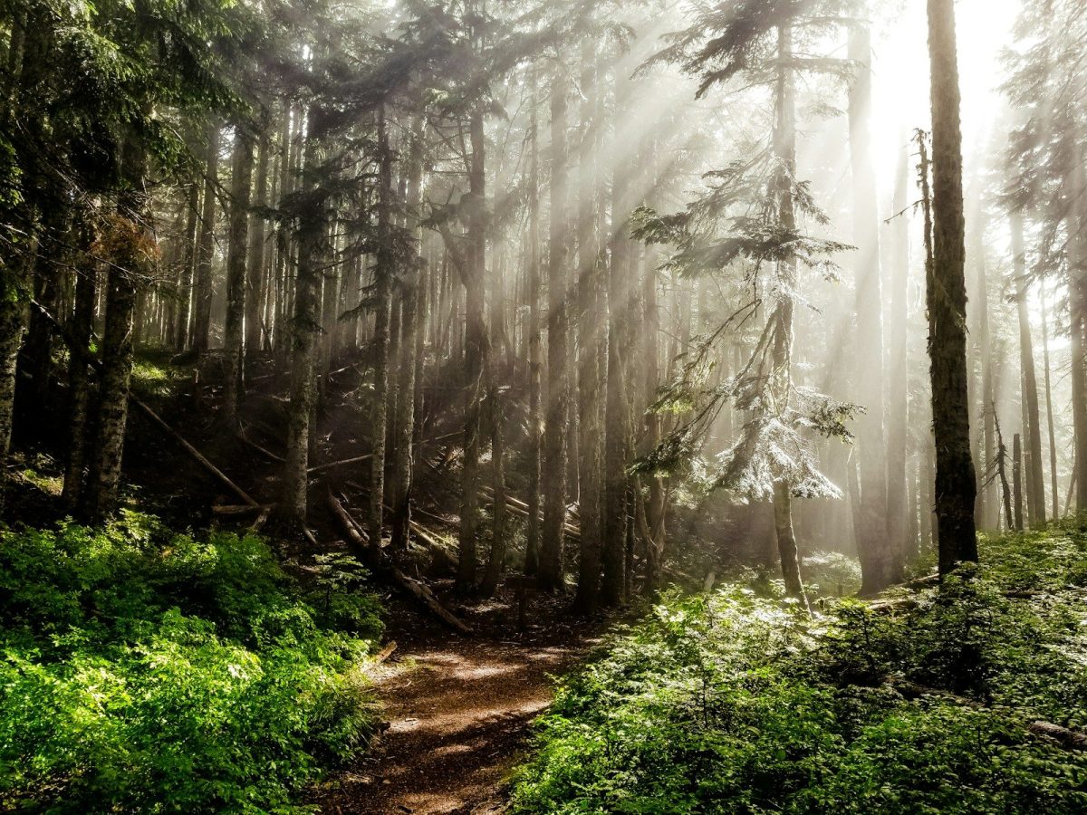
At 14,505 feet, Mount Whitney is the highest peak in the contiguous United States. Altitude sickness can affect physically fit hikers who ascend too quickly, producing disorientation and impaired judgment at the worst possible moment.
The exposed ridgeline draws lightning through most of summer. Acclimatizing for one or two nights before a summit attempt substantially reduces the risk, and that step is frequently skipped.
8. Glacier National Park, Montana
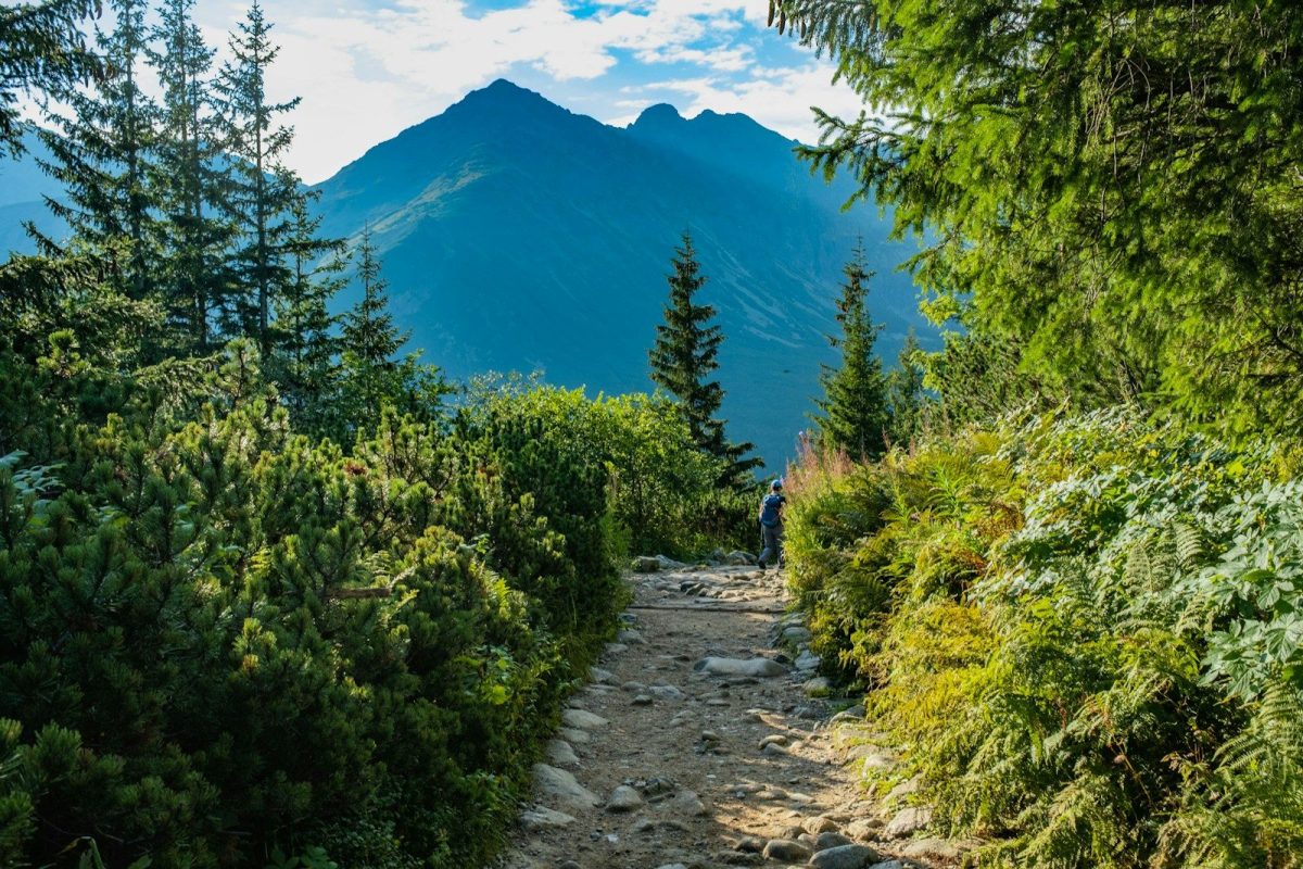
Glacier holds the densest grizzly bear population of any national park in the lower 48 states. Encounters have occurred within a mile of trailheads. Bear attacks have been recorded in recent years, including incidents in 2023 and 2024.
Bear spray must be immediately accessible, not buried in a pack, and works only when deployed at close range in a sustained burst.
Not All Beginners
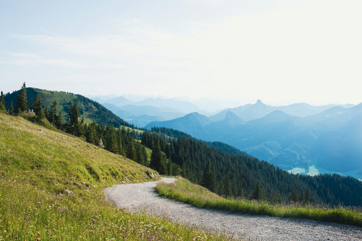
The hikers that were injured or worse on these trails were not all beginners. Many were experienced and physically capable. Terrain, weather, altitude, and wildlife do not adjust based on effort or intention.
A few practices consistently separate hikers who return safely from those who do not: checking conditions the morning of the hike rather than the night before, carrying a satellite communicator on remote routes, and committing to a turnaround time before leaving the trailhead. Most accidents on these trails happen during descent, after the summit has been reached and fatigue has taken hold. Honoring a set turnaround time, regardless of how close the top feels, is one of the most reliably documented factors in surviving high-risk terrain.