
Summer 2026 is a strong year to get out and move around the country. It’s going to be hot this summer, so you’ll need some fun outings to get your mind off the heat! The United States holds an unusual range of terrain within its borders: active volcanoes, ancient sand dunes, glacier-carved mountain ranges, cypress swamps, and barrier islands that catch the full force of the Atlantic. Most people visit two or three of these environments in a lifetime.
That number should be higher.
The nine places listed here span the country from Maine to Hawaii. Some are famous. A few are underappreciated. All of them reward the effort of getting there, and summer is the season that opens them fully.
1. Crater Lake National Park, Oregon
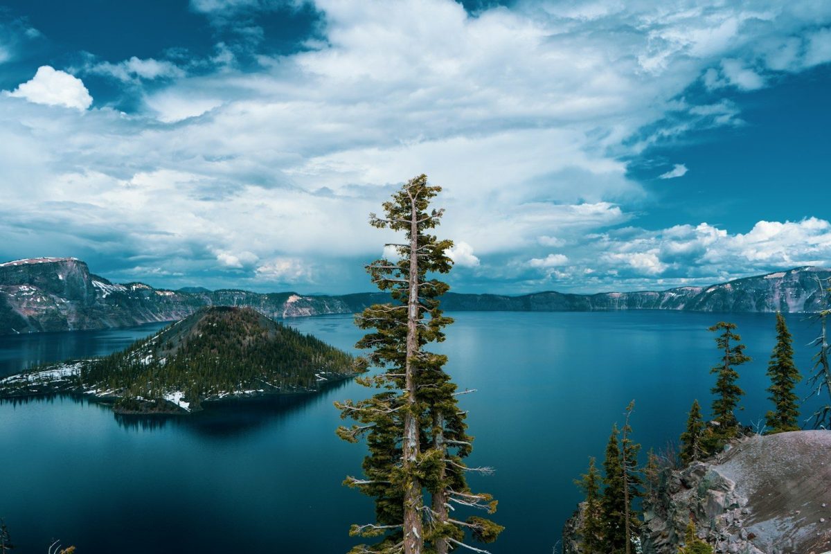
Mount Mazama collapsed inward about 7,700 years ago, and the caldera it left behind slowly filled with rainwater and snowmelt to become the deepest lake in the United States. Water clarity reaches 143 feet down.
The color reads as a blue lit from within rather than reflected from above. Cleetwood Cove Trail is the only route to the shoreline. Boat tours run out to Wizard Island, a cinder cone rising from the lake’s center. Arrive early: rim parking fills before 9 a.m. on summer weekends.
2. Atchafalaya Basin, Louisiana
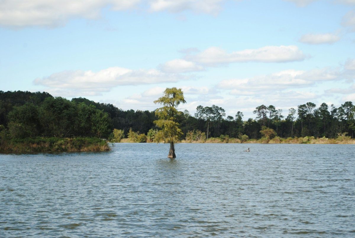
The Atchafalaya covers roughly 1.4 million acres of river swamp across south-central Louisiana, the largest such system in North America. Cypress trees stand draped in Spanish moss above dark water.
Alligators move through lily pads with total ownership of the territory. Breaux Bridge is the most practical starting point, with local outfitters running pirogue and kayak tours into the interior. Hire a guide who grew up on the water. The channels multiply fast, and the basin is large enough to get disoriented in.
3. Great Sand Dunes National Park, Colorado
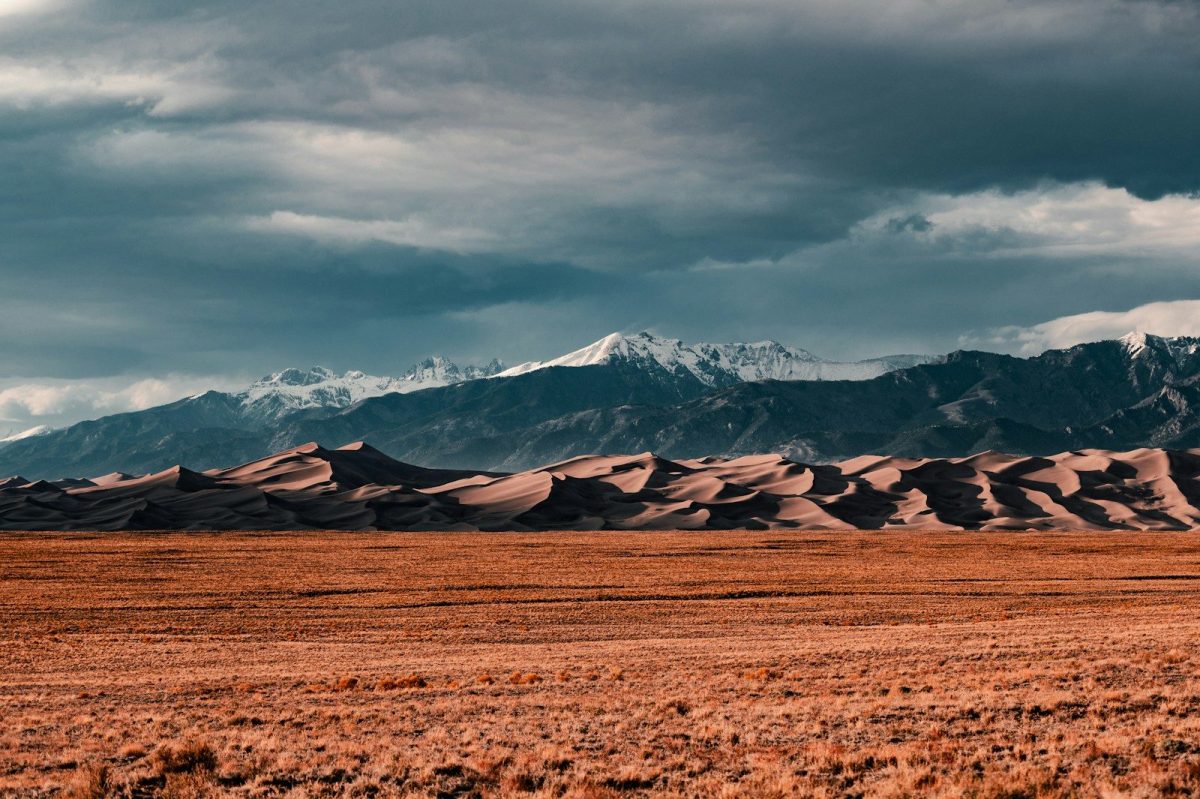
Star Dune reaches 750 feet at the edge of the San Luis Valley, backed by the Sangre de Cristo Mountains. It is the tallest sand dune in North America. Medano Creek runs along the base of the dunes each summer and produces a shallow surge flow, warm enough to wade through freely. Getting to the summit requires an early start.
Sand surface temperatures can exceed 140 degrees Fahrenheit by midday, and the climb is hard work in loose sand with no shade. The view across the valley to the distant peaks is worth it.
4. Hawaii Volcanoes National Park, Big Island
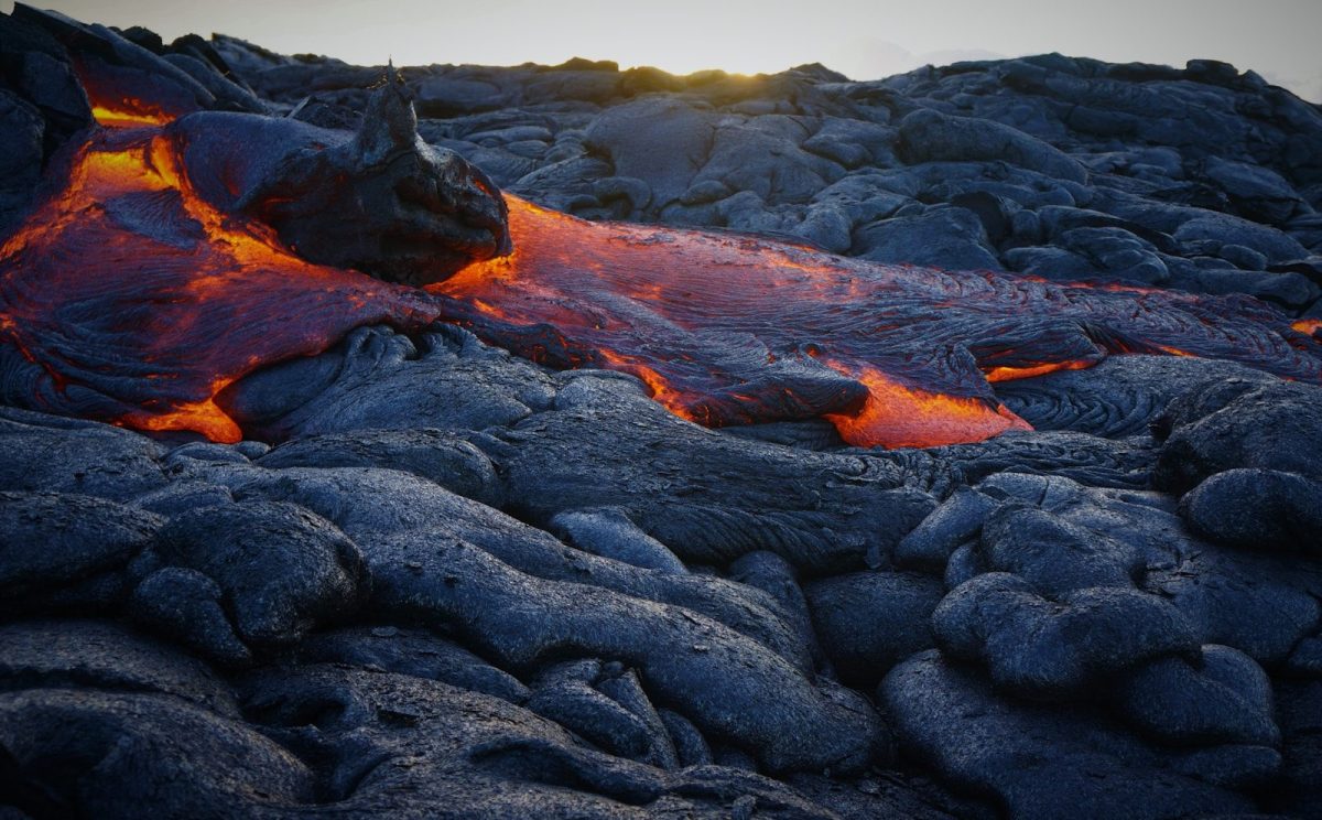
Kilauea has been one of the most continuously active volcanoes on Earth for decades. Chain of Craters Road descends 20 miles from the caldera rim to the coast, passing lava flows from different eras.
The Thurston Lava Tube runs through a solidified basalt channel, cool and quiet inside. The park service posts daily eruption updates worth checking before arrival. Bring a warm layer regardless of the season. At 4,000 feet on the rim, temperatures drop sharply after sunset, which is exactly when the lava glow is at its strongest.
5. Boundary Waters Canoe Area Wilderness, Minnesota
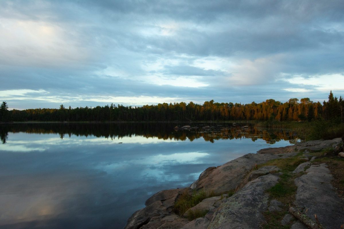
More than one million acres along the Minnesota-Canada border, threaded through with over 1,000 lakes and 1,200 miles of canoe routes. No motor vehicles. No roads into the interior.
Cell service disappears within a mile of most entry points. Permits control access and the most popular entry points book out months in advance, opening each January for the following summer. Ely, Minnesota has outfitters and guide services that have been equipping paddlers for generations. For those without backcountry experience, a guided trip is the right starting point.
6. Grand Staircase-Escalante, Utah
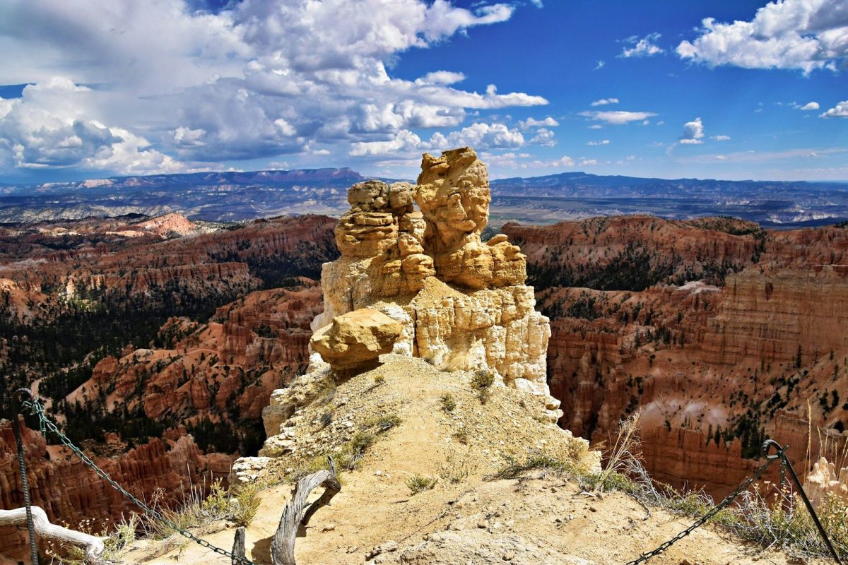
Nearly two million acres of canyon and plateau terrain in southern Utah, and most visitors pass through its edges without stopping. The interior stays genuinely uncrowded. Peek-a-Boo Canyon and Spooky Gulch are two slot canyons reachable on a single day hike, their sandstone walls narrowing to shoulder width in spirals of orange and cream.
Coyote Gulch is a multi-day backpacking route through canyon bottom country past arches, cliff dwellings, and the Escalante River. June and September offer the best conditions on either side of the worst heat and storm activity.
7. The Outer Banks, North Carolina
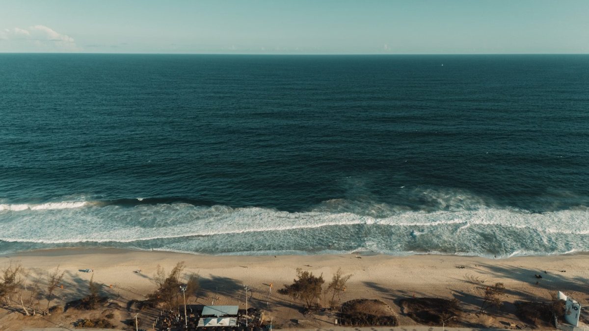
More than 100 miles of narrow barrier islands pushed out into the Atlantic. The Wright Brothers Memorial sits at Kill Devil Hills. The Cape Hatteras Lighthouse, at 198 feet the tallest brick lighthouse in the country, is open for climbing.
The wild horses of Corolla roam the northern beaches freely, Spanish Mustangs descended from horses brought to this coast centuries ago. Ocracoke Island, accessible only by ferry, runs at a calmer pace than the rest of the Banks. Book accommodations well ahead. Peak weeks fill months in advance.
8. Glacier National Park, Montana
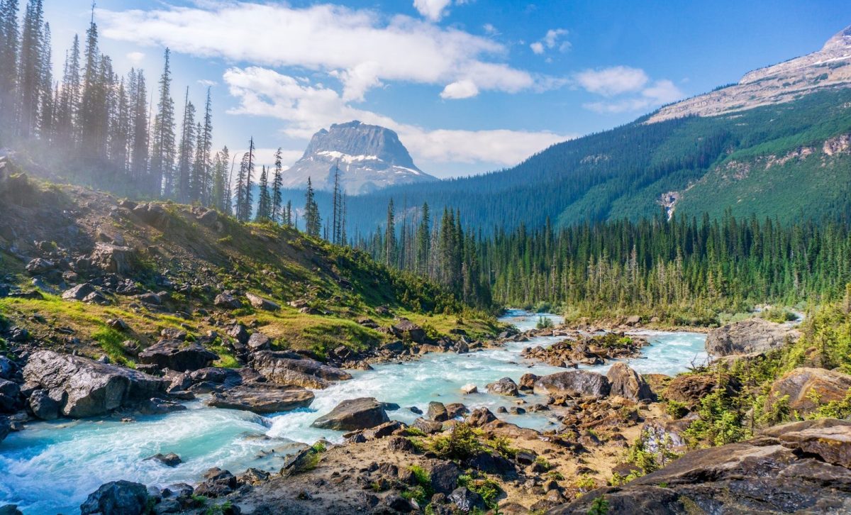
Going-to-the-Sun Road runs 50 miles across the park and crests the Continental Divide at 6,646 feet. On its narrowest stretches, the pavement is carved into cliff face. Mountain goats cross the road at Logan Pass without any awareness of the vehicles around them. The glaciers have retreated significantly over the past century.
Grinnell Glacier, reached via a 10-mile round-trip trail, can still be seen across an aquamarine lake fed by meltwater. Vehicle reservations for the road release each spring and go quickly.
9. Acadia National Park, Maine
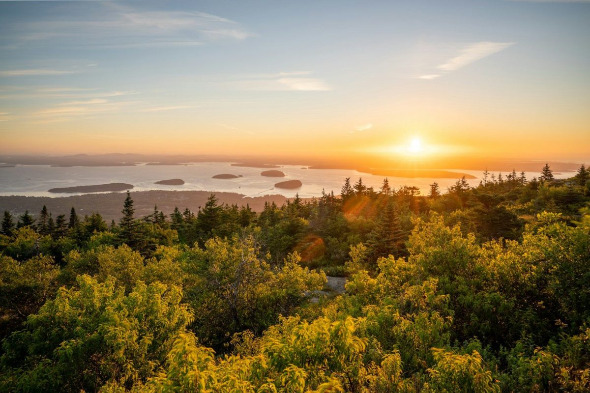
Acadia sits on Mount Desert Island, the only national park in the northeastern United States. Rockefeller-funded carriage roads wind through spruce forest over hand-cut granite bridges, closed to motor vehicles and open to hikers and cyclists.
Cadillac Mountain catches the first sunrise light in the continental United States for much of the year. The Downeast coast east of the island holds lobster brought in daily and sold from the docks, kayaking routes through island-dotted shoreline at low tide, and a pace that fits the season well.